Passenger Information Plus
Wiener Linien
The objective was to provide useful and up-to-date information for upcoming stations while the train is en route. The information design, based on Siemens Mobility PI+ system, solves the following problems:
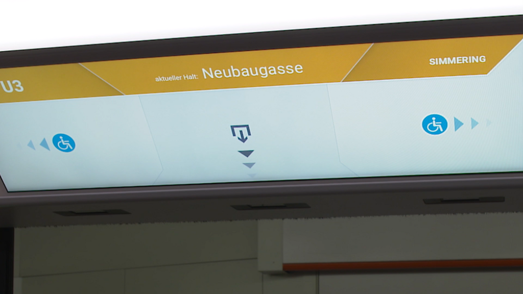
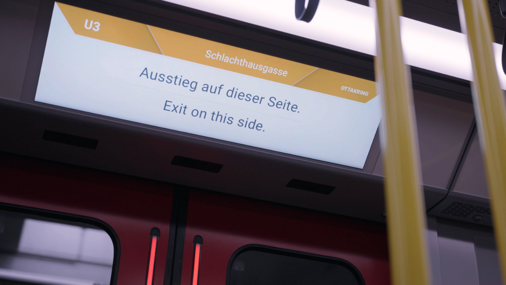
- Digital way-finding graphics above each door informs passengers about the directions of the exits before the arrival at the station. It reduces uncertainty and the need for orientation at the platform.
- The indication of the barrier-free exits prevents those passengers who require extra assistance from debarking at stations with elevators that are out of service, for instance.
- Display of departure times and disruptions allows passengers to know upfront if they can reach their connections, all without using their phone.
Innovative features
1. Dynamic text size rendering and adaptive layout within the way-finding and connections graphic:
If there is a low number of connections at the upcoming station, the system automatically increases the text size for enhanced readability and uses the display space in an efficient way. For quick perception, a traffic-light-indicator shows if there is enough time to reach certain connections without the need of reading the digits.
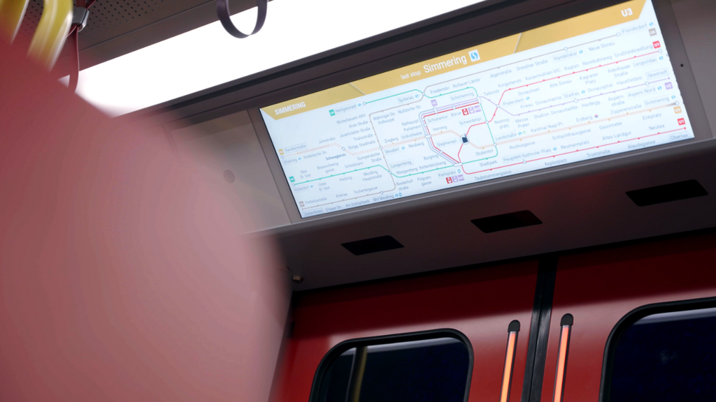
2. Dynamic schematic metro-map of the complete network:
The map highlights the real-time location of the train, as well as the line the train is riding on. Temporarily terminated services, out-of-service stations, as well as long-term disruptions such as construction activities, are also provided on the map.
An enhancement in passenger comfort
The PI+ has a significant influence on rethinking way-finding while in the vehicle. It moves away from a purely schematic representation towards a way-finding in the station that is better adapted to customer needs. By displaying real-time information for passengers changing modes of transit and infrastructure, a significant improvement in orientation and accessibility is attainable.
An enhancement in passenger comfort and passenger changeover times can both be achieved with this one system. Plus, being more informed also positively influences how safe and confident our customers feel moving around the city, especially with the new driverless trains.


